Salyan
Places to visit in Mid-western Development Region
Currency
About Salyan
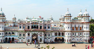
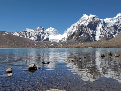
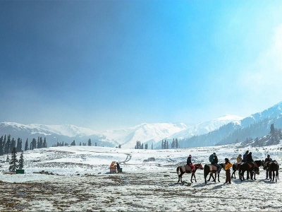
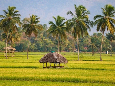
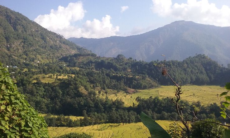
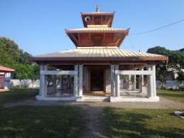
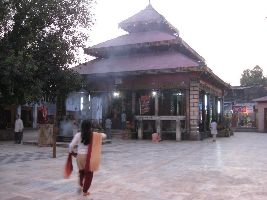
Salyan is one of the seventy-seven districts of Nepal. Salyan covers an area of 1,462 km with a populace of 213,500 in 2001 and 241,716 in 2011. The district's administrative center is called Salyan or Salyan Khalanga, today it's far a part of Shaarda Municipality. The district is thought for its Hindu temples including Shiva temples in Chhayachhetra and Laxmipur, and the Devi temple at Khairabang in Sarda municipality, certainly one of 9 in Nepal.
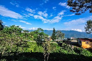
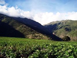
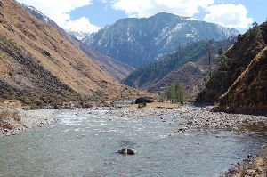
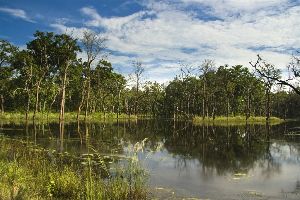
Although Salyan is taken into consideration a hilly district, its southwest salient is without a doubt out of doors the Pahari-inhabited hill place, in the lower Siwalik Hills which are extra an extension of the Terai. The Babai River flows through the southwestern Siwaliks segment after draining Dang Valley. A tributary Sharad Khola drains the eastern 1/2 of Salyan's hill place—which includes the district center, then exits those hills with the aid of cutting through the Mahabharat Range to its confluence with the Babai. The western half of Salyan's hill location is tired through the Bheri.
- Home
- Nepal
- Salyan Tours
- About Salyan
- Log in
- +91
- +92
- +93
- +94
- +95
- Enquiry Form
To City (Destination)
From City
Travel Date
Travel Duration (In Days)
Adult
Child
Infant
Travel With
- Spouse
- Parents
- Friends
- MICE
- Office Friends
- Others
Hotel
- 1 Star
- 2 Star
- 3 Star
- 4 Star
- 5 Star
- 5+ Star
- Unrated
- Guest House
- Service Apartment
Rooms
Type of Trip
- Adventure
- Art
- Backpacking
- Beaches
- Culture
- Desert
- Eco-Friendly
- Family Holidays
- Festivals
- Food
- Hills
- History
- Luxury
- Pilgrimage
- Road Trips
- Romance
- Solo trips
- Trekking
- Wellness
- Wildlife
- Yoga
Total Budget (in INR)
Ticket Booked ?
Ticket Required?
Mode of Transport
- Flight
- Train
- Bus
- Taxi
Ticket Category
- Economy class
- Premium economy class
- Business class
- First class
I will book
Date of Birth
Gender
- Male
- Female
- Transgender
Marital Status
- Married
- Single
- Widow
- Married with 1 kid
- Married with 2 kids
- Married with 2+ kids
Income (Per Month)
- Below 15K
- 15K - 29K
- 30K - 49K
- 50K - 99K
- 1L - 3L
- 3L - 10L
- 10L+
Nationality
- India
- Afghanistan
- Albania
- Algeria
- American Samoa
- Andorra
- Angola
- Anguilla
- Antarctica
- Antigua and Barbuda
- Argentina
- Armenia
- Australia
- Austria
- Azerbaijan
- Bahamas
- Bahrain
- Bangladesh
- Barbados
- Belarus
- Belgium
- Belize
- Benin
- Bermuda
- Bhutan
- Bolivia
- Bosnia & Herzegovina
- Botswana
- Brazil
- British IndianOcean
- British Virgin Islands
- Brunei
- Bulgaria
- Burkina Faso
- Burundi
- Cambodia
- Cameroon
- Canada
- Cape Verde
- Cayman Islands
- Central African Rep.
- Chad
- Chile
- Christmas Island
- Cocos Islands
- Colombia
- Comoros
- Congo
- Cook Islands
- Costa Rica
- Croatia
- Cuba
- Cyprus
- Czech Republic
- Denmark
- Djibouti
- Dominica
- Dominican Republic
- East Timor
- Ecuador
- Egypt
- El Salvador
- Equatorial Guinea
- Eritrea
- Estonia
- Ethiopia
- Falkland Islands
- Faroe Islands
- Fiji
- Finland
- France
- French Guiana
- French Polynesia
- French SouthernTerr.
- Gabon
- Gambia
- Georgia
- Germany
- Ghana
- Gibraltar
- Greece
- Greenland
- Grenada
- Guadeloupe
- Guam
- Guatemala
- Guinea
- Guinea-Bissau
- Guyana
- Haiti
- Heard & McDonald
- Honduras
- Hong Kong
- Hungary
- Iceland
- Indonesia
- Iran
- Iraq
- Ireland
- Israel
- Italy
- Ivory Coast
- Jamaica
- Japan
- Jordan
- Kazakhstan
- Kenya
- Kiribati
- North Korea
- South Korea
- Kuwait
- Kyrgyzstan
- Laos
- Latvia
- Lebanon
- Lesotho
- Liberia
- Libya
- Liechtenstein
- Lithuania
- Luxembourg
- Macau
- Madagascar
- Malawi
- Malaysia
- Maldives
- Mali
- Malta
- Marshall Islands
- Martinique
- Mauritania
- Mauritius
- Mayotte
- Mexico
- Micronesia
- Moldova
- Monaco
- Mongolia
- Montserrat
- Morocco
- Mozambique
- Myanmar
- Namibia
- Nauru
- Nepal
- Netherlands
- Netherlands Antilles
- New Caledonia
- New Zealand
- Nicaragua
- Niger
- Nigeria
- Niue
- Norfolk Island
- Northern Mariana Isl.
- Norway
- Oman
- Pakistan
- Palau
- Panama
- Papua New Guinea
- Paraguay
- Peru
- Philippines
- Pitcairn Island
- Poland
- Portugal
- Puerto Rico
- Qatar
- Reunion
- Romania
- Russia
- Rwanda
- S.Georgia and S.Sand.
- Saint Kitts & Nevis
- Saint Lucia
- St.Vincent &Gren.
- Samoa
- San Marino
- Sao Tome & Principe
- Saudi Arabia
- Senegal
- Seychelles
- Singapore
- Slovakia
- Slovenia
- Somalia
- South Africa
- Spain
- Sri Lanka
- St. Helena
- St. Pierre & Miquelon
- Sudan
- Suriname
- Svalbard &J.Mayen
- Swaziland
- Sweden
- Switzerland
- Syria
- Taiwan
- Tajikistan
- Tanzania
- Thailand
- Togo
- Tokelau
- Tonga
- Trinidad and Tobago
- Tunisia
- Turkey
- Turkmenistan
- Turks & Caicos Isl.
- Tuvalu
- U.S.Minor Outlying Isl.
- Uganda
- Ukraine
- United Arab Emirates
- United Kingdom
- United States Of America
- Uruguay
- Uzbekistan
- Vanuatu
- Vatican City
- Venezuela
- Vietnam
- Virgin Islands
- Wallis & Futuna Isl.
- Western Sahara
- Yemen
- Yugoslavia (Former)
- Zaire
- Zambia
- Zimbabwe
- China
- Montenegro
- Palestine
- Aruba
- Serbia
- Solomon Islands
- Macedonia
- Africa
- Caribbean
- Europe
- Far East
- Indian Subcontinent
- MiddleEast
- North America
- Pacific/Oceania
- South America
- Guernsey
- Tibet
- Great Britain
Preferred Language
- Hindi
- English
- Marathi
- Bengali
- Punjabi
- Gujarati
- Assamese
- Kannada
- Kashmiri
- Konkani
- Malayalam
- Manipuri
- Nepali
- Oriya
- Sanskrit
- Sindhi
- Tamil
- Telugu
- Urdu
- Bodo
- Santhali
- Maithili
- Dogri
- Other
Total countries visited so far
- Not Yet
- 1-5 International Trips
- 6-10 International Trips
- 10+ International Trips
Do you have a Visa ?
Do you have a Passport?
Preferred Time to Call
- 9:00 AM - 10:00 AM
- 10:00 AM - 11:00 AM
- 11:00 AM - 12:00 PM
- 12:00 PM - 01:00 PM
- 01:00 PM - 02:00 PM
- 02:00 PM - 03:00 PM
- 03:00 PM - 04:00 PM
- 04:00 PM - 05:00 PM
- 05:00 PM - 06:00 PM
- 06:00 PM - 07:00 PM
- 07:00 PM - 08:00 PM
We have identified additional inquiries related to your tour. Please review them and let us know if there are any inquiries you would like us to remove.



_1511241431m.jpg)

_1522925046m.jpg)
